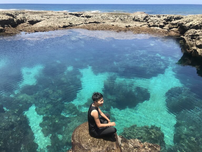
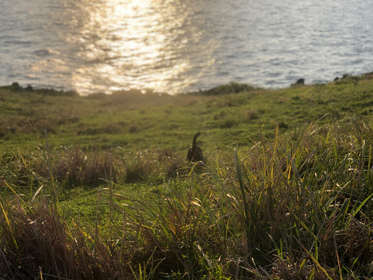
As destinations on the island such as Green Green Grassland, Lover's Cave, Nipple Mountain, and DuWaWa become increasingly popular, the “more challenging” Imorod Forest Trail has been forgotten and hidden from the world until recently.
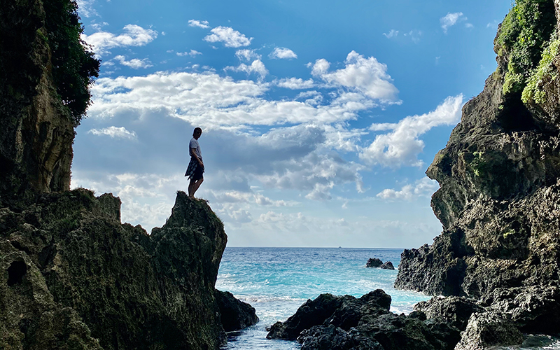
Passing through Green Green Grassland, which bustles with tourists every summer, you will come across a small trail along the round-the-island highway, the roadside retaining wall reading “Imorod Forest Trail Ecological Teaching Park”, which was constructed by the Imorod Village Development Association in 2013. Along the entire trail are virgin tropical rainforests and canyon terrain, featuring unique sceneries such as rocks, stalactites, stalagmites, giant tree roots, coral reefs, and so on. It is also believed to be the habitat of many butterflies and blue paradise flycatchers. The trail leads all the way to an estuary, where visitors can see the far horizons and the cape.
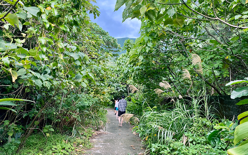
Follow the cement trail to the forest trailhead, with stone steps built entirely from natural cobblestones. Follow the trail down, this is the easiest section of the trail.
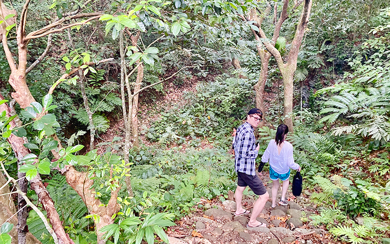
After going down the steps, turn left and head to the estuary. After these steps, there are almost no more man-made trails.
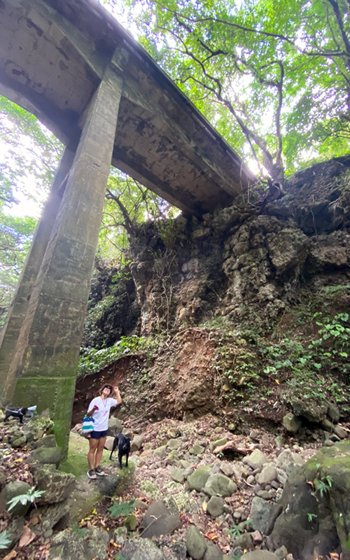
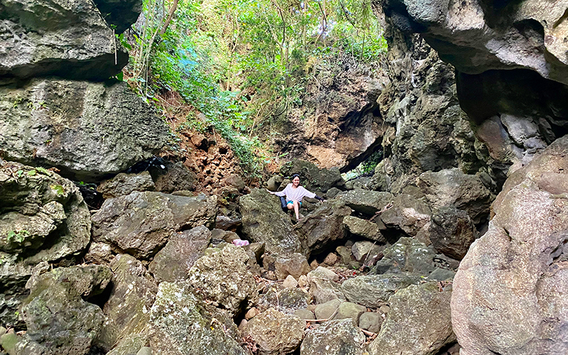
Although the trail in the valley is not too challenging, there are many boulders on the canyon terrain, so you have to climb up and down when necessary.
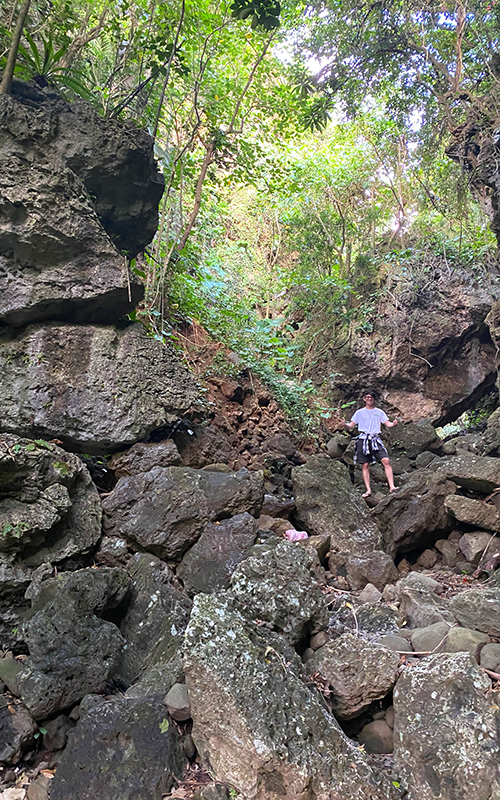
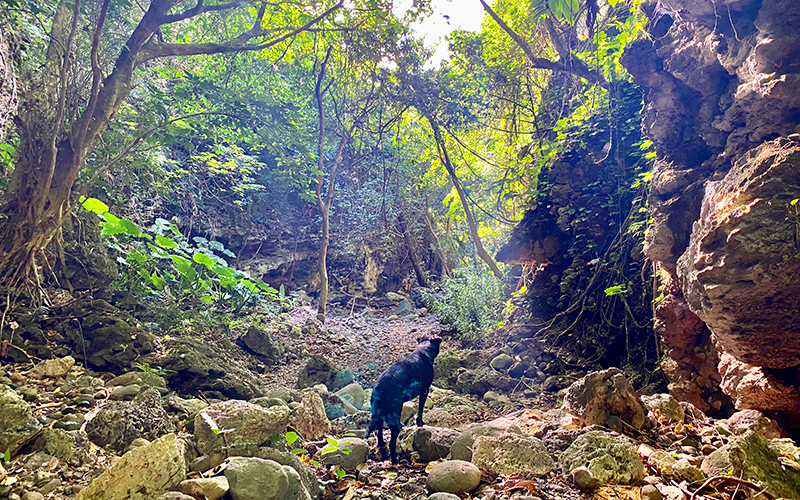
The second half of the trail consists almost entirely of natural trail.
In the middle section of the trail, you will see massive stalagmites and stalactites.
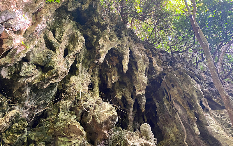
The latter section of the trail is more challenging as you need to cross a small canyon. The boulders are not too difficult to climb but be careful of your footing when climbing up and down, and pay attention to loose rocks.
You will reach a small gravel beach after roughly 40 minutes, where you will see the estuary.
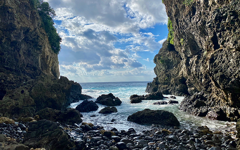
Some travelers ask, can you swim or dive here?
It all depends on the conditions of the tide and waves on the day. Although the outgoing current by the bay is weak, there are strong currents around the estuary.
Since there are few people here, we strongly suggest that you seek a local diving guide to ensure safety.
How do you get there?
Traveling in a clockwise direction around the island, you will see a sign on your right hand side shortly after passing Green Green Grassland
Google Maps: https://goo.gl/maps/tBPn15PiERiS4QQE8
How do you get there?
1. Before walking onto the cement trail, please park your vehicles as close as possible to either side of the road near the entrance.
2. Round trip takes about 1-1.5 hours, please prepare sufficient water and dry food.
3. The entire route is a natural trail flanked by enormous reefs, observe safety when walking and taking pictures to prevent falling.
4. Let's look after the precious paradise on the island together, please be a “traceless traveler” and don't leave garbage behind.

